
North Carolina Official State Highway Maps
As automobile travel grew in popularity in the United States, drivers began to demand both better roads and road maps to guide their travels. Many private organizations, such as the American Automobile Association, responded to this demand by creating state and national highway maps. State agencies also began printing highway maps highlighting the roads in their states.
The first North Carolina State Highway map was issued in 1916, showing proposed highways connecting major cities across the state. This map was printed after the Federal-Aid Highway Act was passed in June of 1916, resulting in federal money to subsidize the cost of highway construction in individual states.*
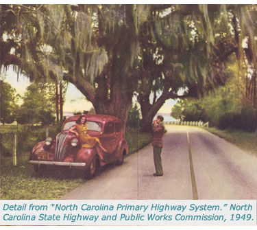
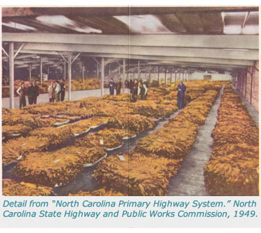
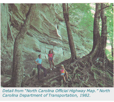
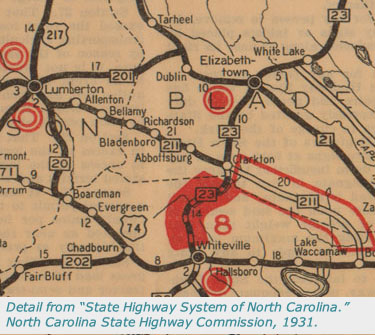
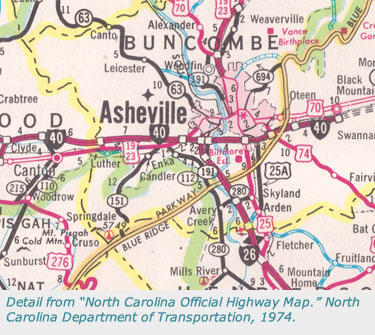
The State of North Carolina has issued state highway maps on an annual or near-annual basis since 1924. From the 1930s until the 1960s, it issued two editions of the map every year, one in color and one in black and white.** Since the 1970s, color maps have been released annually or semi-annually. Various state agencies have created and published these maps, including the North Carolina State Highway Commission (later the State Highway and Public Works Commission) and the North Carolina Department of Transportation.
View Official State Highway Maps by Date
The state highway maps in North Carolina Maps range in date from 1916 to 2000. To view maps from a specific year, click on one of the links in the table below. Users can also browse all official state highway maps.
North Carolina Official State Highway Maps: Online Resources
The NCRoads.com Annex has pages for state highways and U.S. routes, with photographs, information about the roads and their histories, and great selections from highway maps.
- NCRoads.com Annex: http://www.vahighways.com/ncannex/route-log/
The Road Maps Collectors Association has an "Official Maps Master List" with state road maps from all 50 states (as well as Canadian provinces and U.S. territories).
- Road Map Collectors Association: http://www.roadmaps.org/
*From the Wisconsin Historical Society.
**From North Carolina Official Maps, Road Map Collectors Association.