

About North Carolina Maps
About the Project
North Carolina Maps is a collaborative digitization project by the State Archives of North Carolina, the Outer Banks History Center, and the University Library at UNC-Chapel Hill. This project is made possible by a Library Services and Technology Act grant distributed through the State Library of North Carolina and North Carolina ECHO. Work on North Carolina Maps began in July 2007 and was completed in June 2010.
Selection Criteria
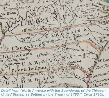
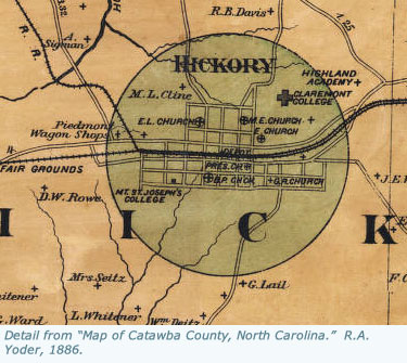
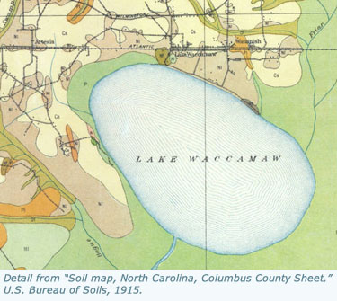
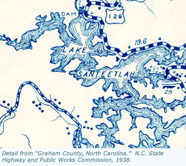
This project includes original, printed maps of North Carolina published prior to 1923; manuscript maps; maps from books and atlases published prior to 1923; and selected maps published by the state government after 1923. Facsimiles are not included, unless the facsimile is the best available copy of a map owned by one of the participating repositories. An effort has been made to identify and include every available map of North Carolina, or of regions, counties, or towns within the state. This project also includes some maps showing larger regions, including many maps showing North Carolina with neighboring states, several maps depicting Southeastern states, and selected maps showing areas as large as all of North America, when these include particularly notable depictions of North Carolina. To select maps, the primary tools used were the existing catalogs at UNC-Chapel Hill and the State Archives of North Carolina. However, project staff have also relied on published bibliographies, especially William P. Cumming's The Southeast in Early Maps (third edition, UNC Press, 1998), as well as on suggestions from librarians, archivists, scholars, and map collectors.
Digitization
Maps for this project were digitized at two locations: the State Archives of North Carolina and the Digital Production Center in the Carolina Digital Library and Archives at UNC-Chapel Hill. Each map was digitized at a resolution high enough to enable viewers to zoom in close enough to see and read even the smallest details on each image. All of the original scans have been maintained and are available for research, publication, and display.
Cataloging and Description
Every map included in this project had been cataloged prior to digitization by the owning repository. For this digital project, project staff have added additional information to each record in order to give users even more flexibility and accuracy in browsing and searching the digitized maps. A list and description of the searchable fields used in this project is available on the Search page.