
North Carolina Sanborn® Maps
From 1867 to 1977, the Sanborn® Map Company of Pelham, New York, produced large-scale (usually 50 feet to the inch) color maps of commercial and industrial districts of some 12,000 towns and cities in North America to assist fire insurance companies in setting rates and terms. Each set of maps represented each built structure in those districts, its use, dimensions, height, building material, and other relevant features (fire alarms, water mains and hydrants, for example). The intervals between new map editions for a given town or city in the early decades of the twentieth century varied according to the pace and scale of urban growth — from a few years to more than five years. In all, Sanborn® produced 50,000 editions comprising some 700,000 individual map pages.
North Carolina Collection Sanborn® Fire Insurance Maps
The North Carolina Collection at UNC-Chapel Hill holds the most comprehensive collection of Sanborn® maps in North Carolina. The holdings range in date from the 1880s to the 1950s and cover more than 150 cities and towns across the state. North Carolina Maps features online all of the North Carolina Collection's Sanborn® maps produced through 1922. Maps published after that date will remain available for use on microfilm in the North Carolina Collection reading room.
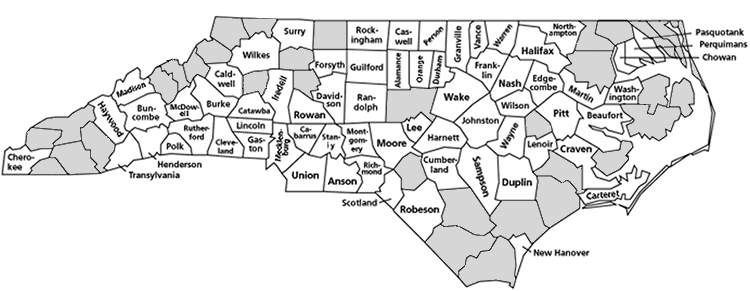
Browse Sanborn® Maps by County
Obtaining Copies
Digital images and color prints of the Sanborn® fire insurance maps displayed on this site are available through the North Carolina Collection at UNC-Chapel Hill. For more information, contact the collection at wilsonlibrary@unc.edu or (919) 962-1172.
Many Sanborn® maps -- including those published later than 1922 and maps from other states -- are available from Environmental Data Resources, Inc. See more information at http://www.edrnet.com/sanborn.htm.
Related Sites
Going to the Show, a project documenting the experience of moviegoing in North Carolina in the early twentieth century, contains images of over 750 Sanborn® map sheets from North Carolina. These map images have been stitched together and georeferenced, enabling users to compare them with maps from other years, and with recent street maps and satellite images.
Sanborn Maps North Carolina, a product of ProQuest, is the most complete set of North Carolina Sanborn® maps available online. This subscription site is available in libraries throughout North Carolina through NC LIVE. Ask at your local library for more information about accessing this site.